

Trails
Alerts
11/18/24: The full Trailside Bike Park is closed for the season. Limited snowshoe and fat bike access available as conditions permit.
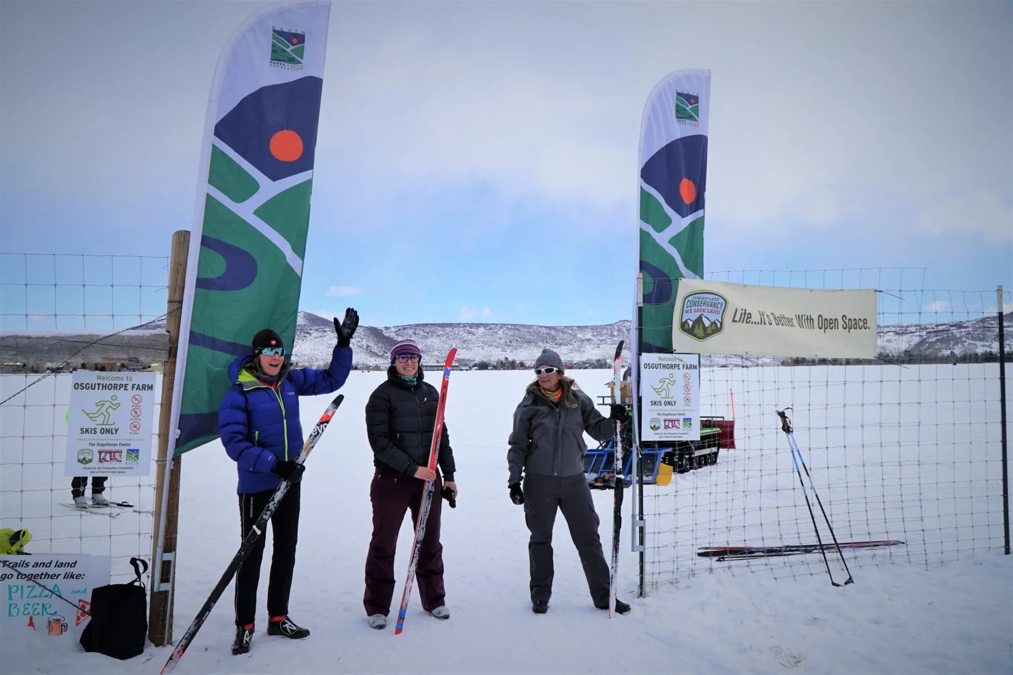
View the Winter Grooming Map for winter trail conditions.
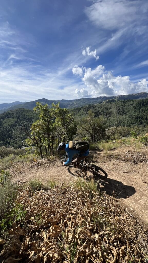
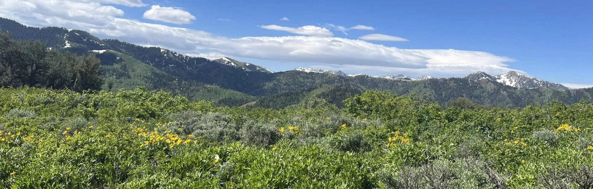
Basin Recreation’s trail system offers a gateway to the greater Park City area’s breathtaking landscapes, connecting outdoor enthusiasts to open spaces, wildlife, and stunning views.
About Our Trails
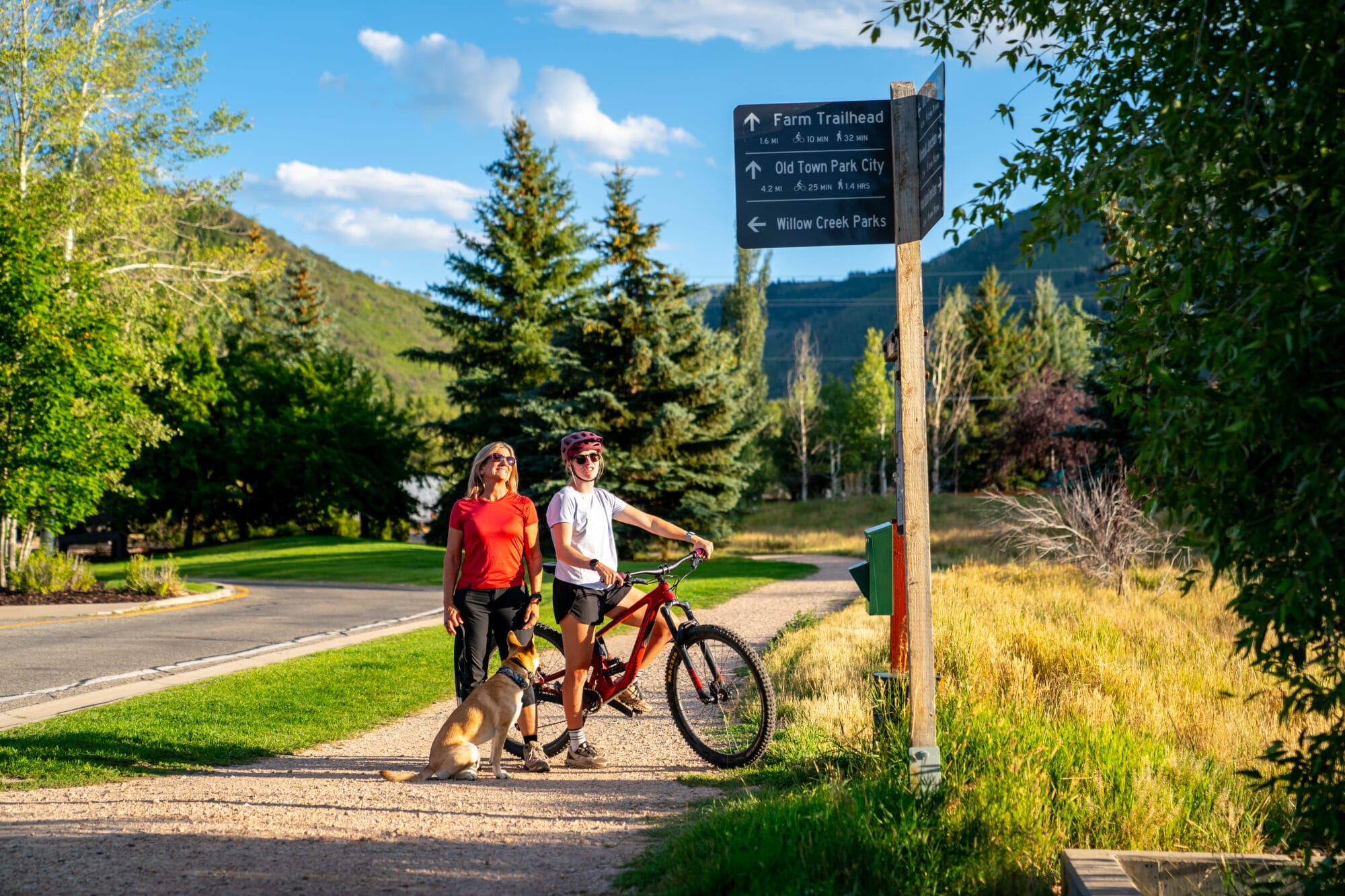
Basin Recreation offers diverse trails designed to cater to different types of users, including those who walk, hike, bike, or use other forms of non-motorized transport. Check out the trail systems below to start your next adventure.
Trail Systems
Not sure where to start?
Head over to the Explore page and use the filters to view recommended routes curated by the Basin Recreation Trails Team!
Trail Types
Each trail type serves a specific purpose, providing options for varying outdoor activities and levels of difficulty:
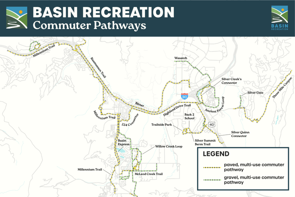
Designed for commuting, these multi-use, paved or compacted gravel paths connect key community areas from the Snyderville Basin to Park City including neighborhoods, parks, and schools, encouraging eco-friendly travel. Commuter pathways are open to a variety of non-motorized uses including walking, biking, skateboarding, and more.
Activities: Biking, E-biking, & Hiking
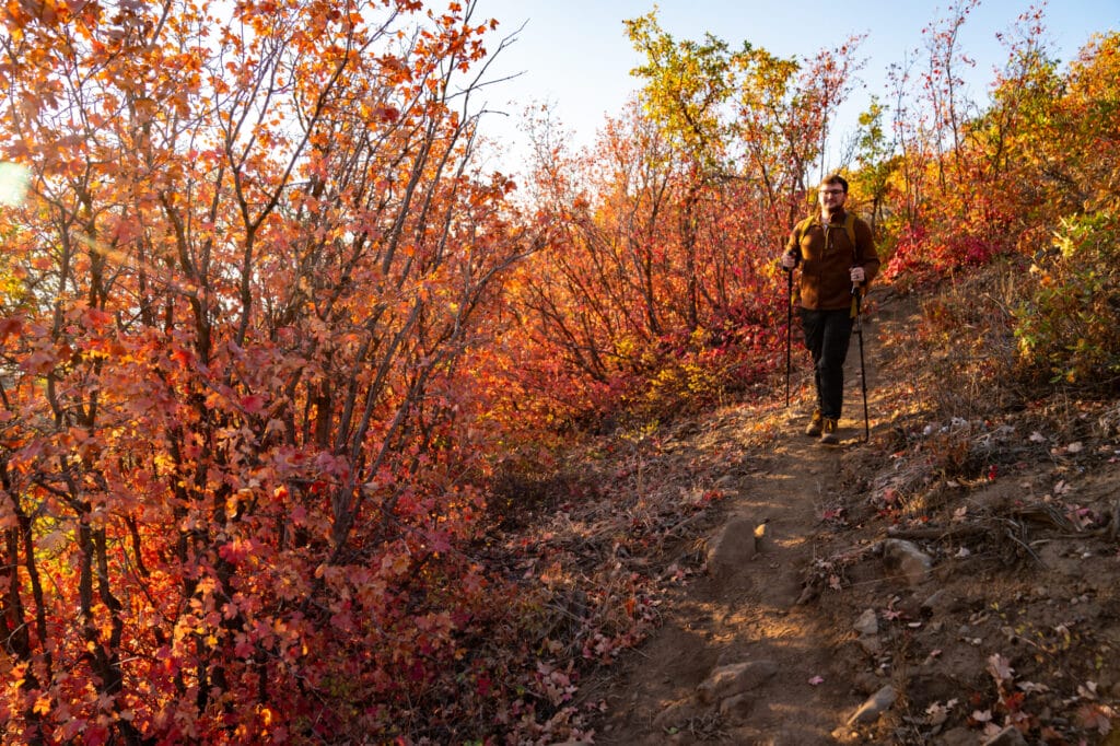
Reserved for foot traffic, these singletrack trails offer a peaceful, nature-focused experience often with steeper or more rugged terrain.
Activities: Hiking
These trails are wider to safely manage mixed traffic and often have more moderate terrain, making them accessible for users of different skill levels and recreational types.
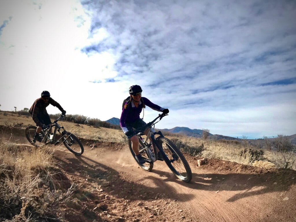
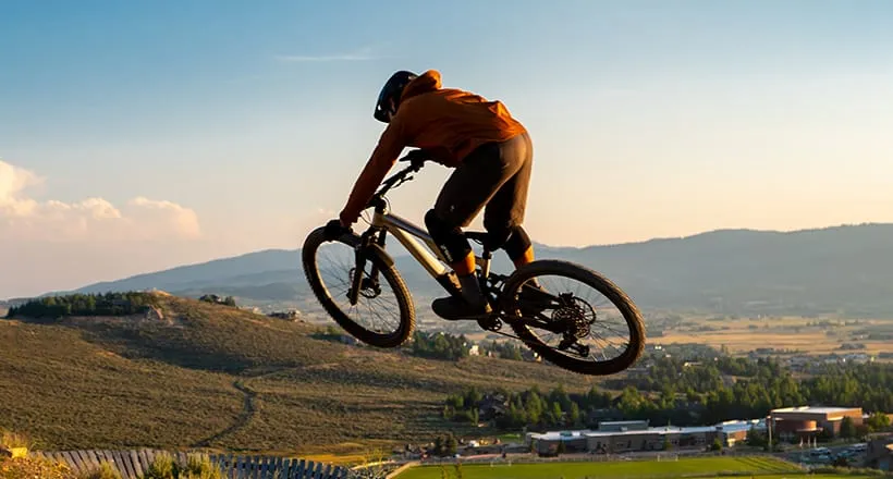
Activities: Hiking, Mountain Biking, Downhill Mountain Biking
These singletrack trails are for mountain biking only. These one-way, downhill biking trails may include features like jumps, berms, and technical elements. Foot traffic is not allowed on Downhill Biking Trails.
Activities: Downhill Mountain Biking, Mountain Biking
Managing Our Shared Trails
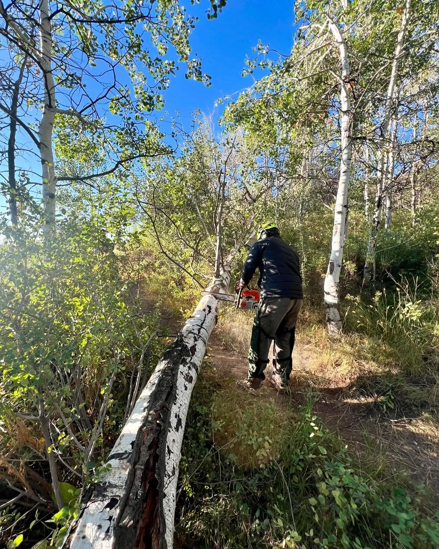
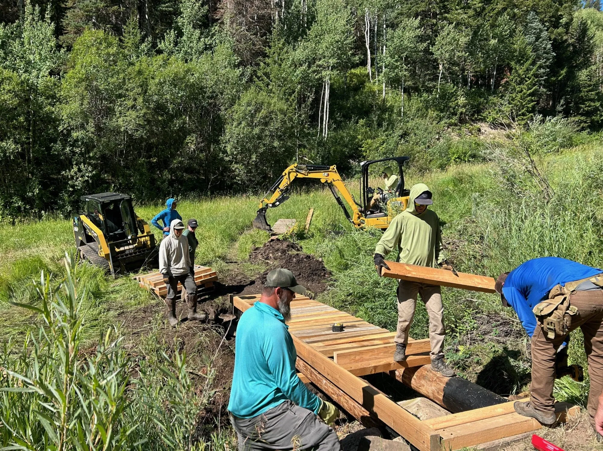
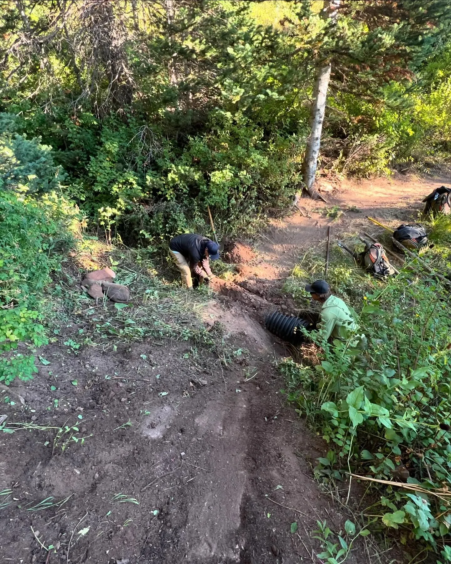
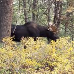
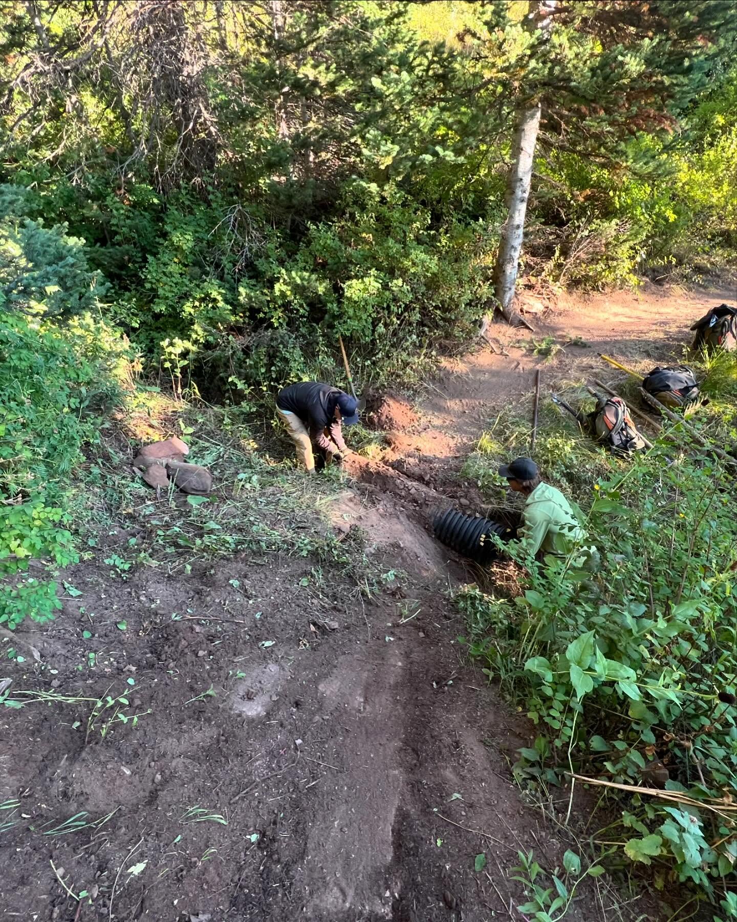
At Basin Recreation, our trails are designed to minimize environmental impact while maximizing the user experience. By practicing sustainable trail building, we reduce soil erosion, protect native plants and wildlife habitats, and increase the longevity of the trail system to ensure long-term enjoyment for the community.
Active Trail Management

Trail Announcements
Read the latest about our shared trails!
- District Director Announces Resignation
 For Immediate ReleaseMarch 20, 2025Contact: Ben Castro, (801) 244-2892, [email protected] Park City, UT – After nearly five years of dedicated service, Dana Jones, District Director of the Snyderville Basin Special Recreation District, has announced her resignation, effective December …
 - Gift to Utah Open Lands Further Protects Iconic PropertyPRESS CONTACT:Wendy FisherExecutive DirectorUtah Open [email protected] For Immediate Release Summit County, UT – Utah Open Lands is excited to announce that it has received a gift of fee ownership to 344 acres of the property known as the …
- Open Space Fall Restoration HighlightsFall is restoration season for the Open Space team, as we move into winter we’re reflecting on the hard work we put into fall projects! Plants grown in the Trailside greenhouse through the spring and summer were ready …

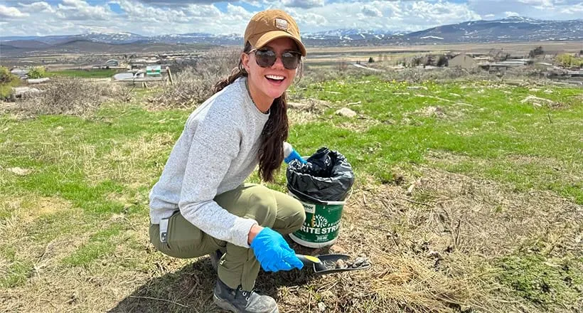
Become a Volunteer
We invite the community to be part of the solution by joining an upcoming volunteer day!
Newsletter Sign Up
Subscribe to the email newsletter to stay updated on upcoming opportunities!
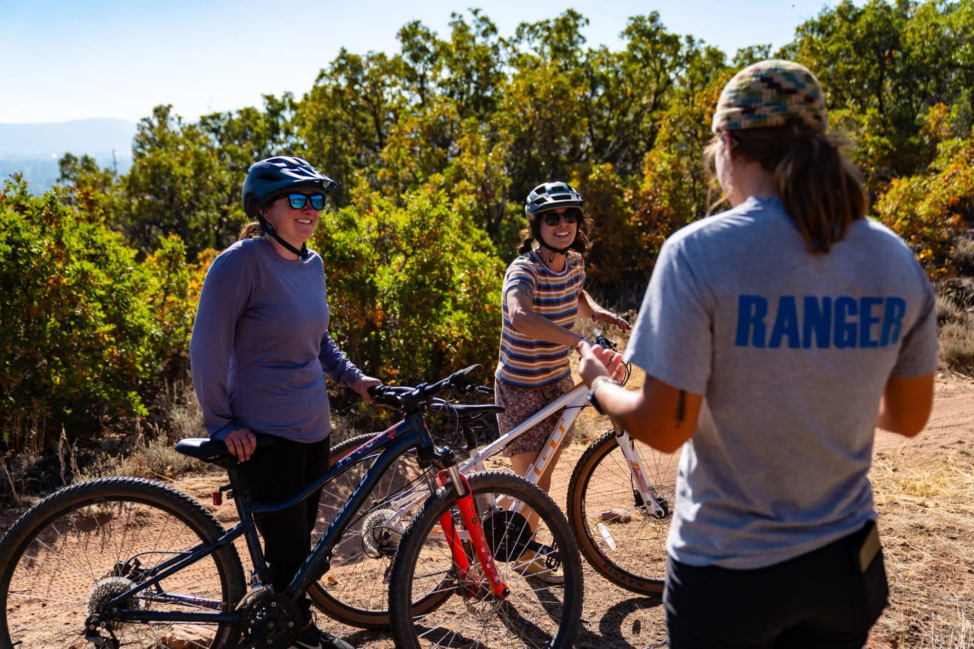
Join a Program
From skills clinics to naturalist hikes, summer camps to group rides, there is a program for anyone looking to go out and hit the trail with Basin.
Groups & Events
Learn more about bringing a group to enjoy Basin Recreation’s trails or hosting an event.
FAQs
More than we can list! Basin Recreation manages trails across the Snyderville Basin, spanning from Summit Park at the peak of Parley’s Canyon to Glenwild, RTS, the Trailside Bike Park, Mid Mountain Trail, and countless trails in between. This system of trails is made possible by working collaboratively with developers, private property owners, other governmental entities, and non-profit trail advocacy organizations.
If mud is sticking to your wheels or heels, it’s time to turn around. Paved and compacted gravel trails are your best option during mud season, however lower elevation and south facing trails will dry out faster. Head over to the Trails Map to view trail closures in the spring, summer, and fall. Respect any trail closures and understand that, just because the trail appears dry doesn’t mean that it will remain dry further down the trail. Signs are often placed at the closest junction for your convenience.
Yes, however due to snow removal efforts, winter parking is extremely limited at these trailheads. Please check the trailhead cameras before visiting these areas.
Parking overnight at a trailhead or park is prohibited.
Basin Recreation Staff, along with law enforcement and emergency services, are exempt from any use restriction on trails as outlined in the Summit County Code Ordinance 981. This allows employees to access more remote trail areas and complete necessary work in a more efficient manner.
No. Basin Recreation prioritizes snow removal on all commuter pathways and trailheads prior to any trail grooming. Due to this prioritization, there is no set schedule for grooming. However, you can view grooming updates on our interactive map.
Yes. Users can view if classic lines were set on groomed trails by visiting the winter map. Please note that the track setting requires a little bit more snow than just regular grooming, so classic lines may not be set during the early season.