About Road to WOS Loop
Feeling hungry? Take the Road to WOS for a quick bite of scenery.
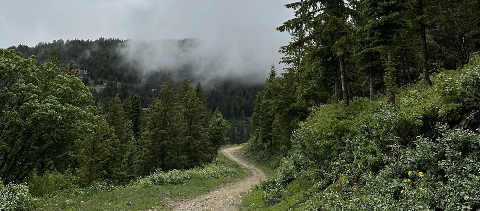
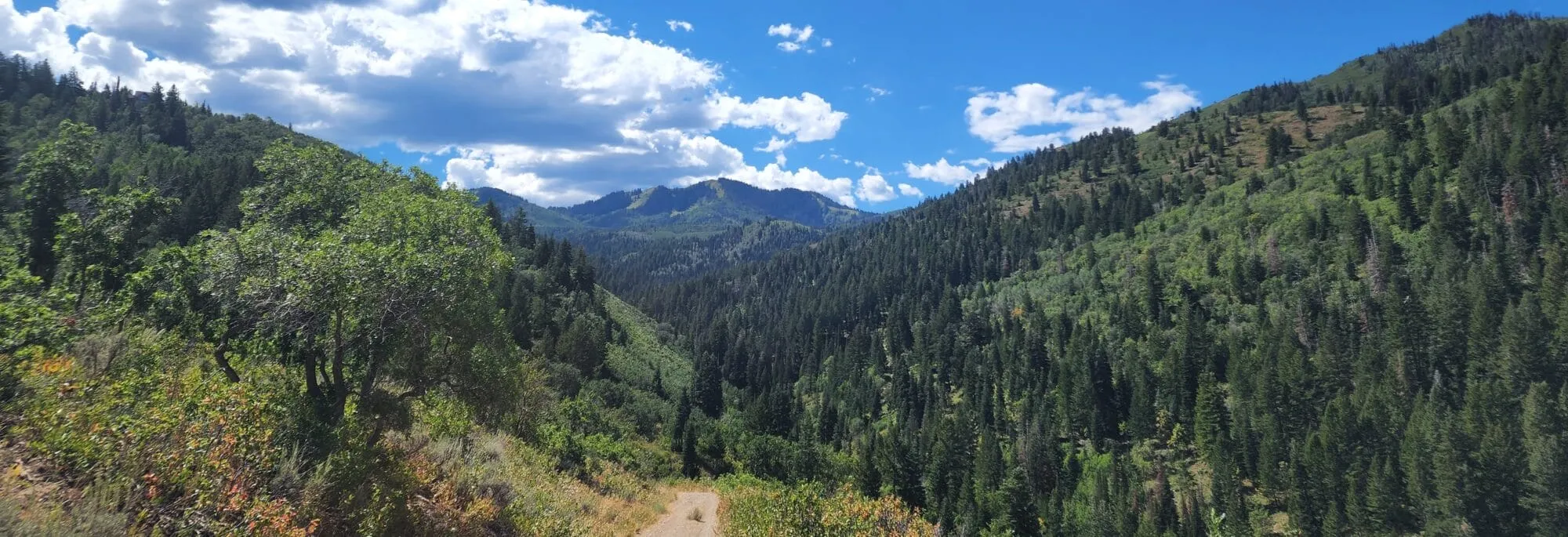
From the Short Stack Trailhead, head up Short Stack for 1.2 miles as the trail wanders through the densely forested area. Continue to Road to WOS for 2.3 miles while enjoying views of Toll Canyon as you near the ridgeline before descending back into the tree canopy. Connect to Short Ribs for a quick .4 miles, then head back the way you came on Short Stack for 1.2 miles to the Short Stack Trailhead. This loop is most popular for mountain biking but could be completed on foot.
Amenities

Accessible All Year

Trailhead

Parking

Mountain Biking

Hiking

Snowshoeing

Dog On-Leash
Trails
| Trail Name | Miles | Use |
|---|---|---|
| Short Stack | 1.2 | Multi-use |
| Road to WOS | 2.4 | Multi-use |
| Short Ribs | 0.2 | Multi-use |
| Short Stack | 1.2 | Multi-use |
Ranger Tips
Blind corners may exist! Use caution and slow down where you can’t be seen. Not only is this good trail etiquette, but wildlife such as moose are often found in this area.
Nearby Trails
Rules & Regulations

No E-bikes

No Overnight Parking

No Motorized Vehicles

No Camping

No Fires

No Hunting

No Firearms

No Fireworks
Dogs
Dogs must be under restraint with a lead, leash, or e-collar with the owner maintaining sight and voice control over dog and a leash on hand.
E-bikes
E-bikes are NOT permitted on single track trails. Exceptions apply for riders on a Class 1 e-bike age 65 or older or persons with mobility disabilities.
Avalanche Awareness
Given the abundant snow and steep slopes in Summit Park, it’s essential to be aware of avalanche risks. Understanding how avalanches form, where they are most likely to occur, and how to avoid them is crucial for your safety. For current avalanche forecasts visit Utah Avalanche Center.


